The Cushwa Basin is a National Park Service access point, parking area, and visitor center where many people access the canal. It's just short of Milepost 100.
I ran upstream that day. Around MP 102 you pass a working quarry on the right, then between MP 103 and 104 there exists in amazing profusion a sea of Virginia Bluebells, that bloom in the early April timeframe.
So far, so good. But between MP 105 and 106, the bluffs or cliff along the right side of the canal have receded far back from the water, and a thicket of vines and scrubby trees covers the landscape. It looks dark and foreboding. If you've ever read the Stephen King book Pet Cematary, it is reminiscent of the thicket of tangled trees he described as being on the way to the burial grounds.
These shots do not do justice to the place, but it's as close as I can come in a 2D representation:
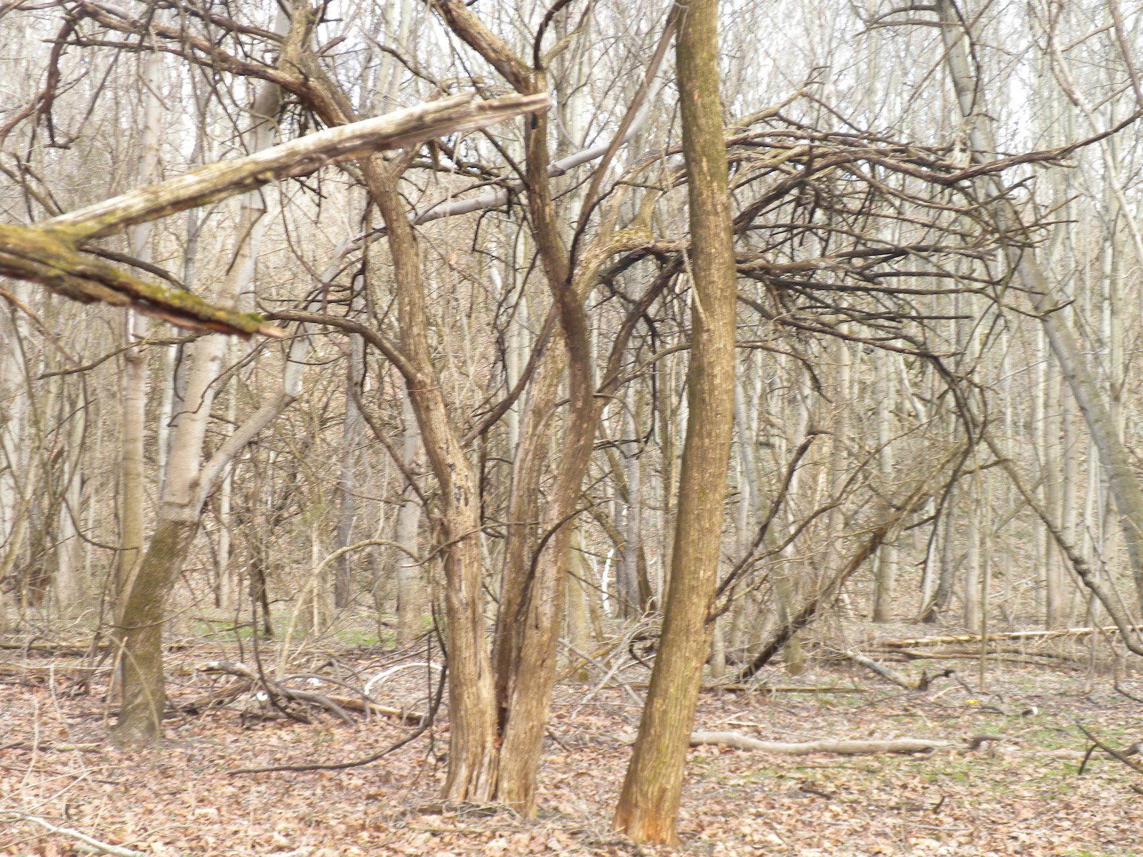

I always hurry by this section. It's not at all bad during the day, but towards dusk I'd really rather not be there.
No comments:
Post a Comment